Geospatial AI and Machine Learning: Transforming How We Understand the World
- Sept. 21, 2024
- Geospatial Solutions
- Post by : Eng. Kelvin George
The fusion of geospatial data with artificial intelligence (AI) and machine learning (ML) is reshaping industries, from urban planning and agriculture to environmental monitoring and disaster response. Geospatial AI refers to the application of AI and ML algorithms to analyze and interpret location-based data. This powerful combination is enabling smarter decisions, predictive insights, and automated processes that were previously unimaginable.
In this blog post, we will explore how geospatial AI and machine learning are transforming the way we understand and interact with the world, the key applications driving change, and the potential challenges ahead.
1. What is Geospatial AI?
Geospatial AI, often called GeoAI, is a rapidly growing field that integrates geospatial data information related to the Earth’s surface and location with AI and ML models. By analyzing geographic patterns, trends, and relationships, these technologies help us gain deeper insights into complex spatial problems.
For instance, geospatial data can include satellite imagery, geographic information systems (GIS), GPS data, aerial drone footage, and real-time sensor networks. When AI and machine learning algorithms are applied to this data, it unlocks powerful capabilities such as automatic object detection, pattern recognition, and spatial forecasting.
2. Key Applications of Geospatial AI and Machine Learning
1. Urban Planning and Smart Cities
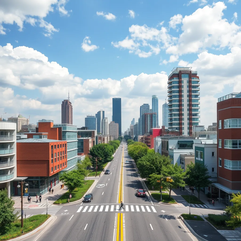
AI and ML-powered geospatial tools are revolutionizing how cities are planned and managed. Urban planners can analyze vast datasets, including traffic patterns, population density, and land use, to make better decisions. For example, predictive modeling can identify the best locations for new infrastructure based on future growth patterns. Geospatial AI also plays a role in optimizing energy use, traffic flow, and waste management, making cities smarter and more sustainable.
2. Environmental Monitoring and Conservation
Geospatial AI has emerged as a critical tool in environmental monitoring, allowing scientists to track changes in natural ecosystems and predict environmental shifts. For instance, satellite imagery processed by AI can detect deforestation, monitor water levels, and even track the movement of endangered species. By using machine learning models, researchers can predict environmental trends, assess the impact of climate change, and create strategies for ecosystem conservation.
3. Agriculture and Precision Farming
In agriculture, geospatial AI is transforming how farmers manage their fields. Machine learning models analyze data from satellite imagery and drone footage to monitor crop health, soil quality, and weather patterns. By combining this data with real-time sensor inputs, precision farming techniques can optimize irrigation, reduce pesticide use, and boost crop yields. These advancements not only increase efficiency but also help farmers minimize their environmental impact.
4. Disaster Response and Risk Management
During natural disasters like earthquakes, floods, and hurricanes, rapid response is essential. Geospatial AI can analyze real-time satellite imagery and sensor data to assess the extent of damage and identify areas most in need of aid. AI models can predict where floods or landslides are likely to occur, helping emergency responders allocate resources more effectively. These tools are crucial for minimizing loss of life and speeding up recovery efforts.
5. Transportation and Logistics
The transportation and logistics industry is another major beneficiary of geospatial AI. Machine learning models analyze traffic patterns, optimize delivery routes, and predict transportation bottlenecks. For example, AI algorithms can predict areas prone to traffic congestion and suggest alternative routes in real time, saving time and fuel. Geospatial AI is also being used in the development of autonomous vehicles, helping self-driving cars navigate complex environments by interpreting geospatial data.
3. How AI and Machine Learning Enhance Geospatial Data Analysis
1. Pattern Recognition
AI models excel at recognizing patterns in complex datasets, and geospatial data is no exception. Machine learning algorithms can identify patterns in large-scale geographic data that are often missed by traditional analysis methods. For instance, in satellite imagery, AI can detect subtle changes in land use, vegetation cover, or infrastructure development over time, providing insights that help with environmental monitoring or urban planning.
2. Predictive Modeling
Machine learning allows geospatial analysts to create predictive models that forecast future events based on historical data. For example, by analyzing past weather data, soil conditions, and crop yields, ML models can predict future agricultural outcomes or natural hazards. This predictive capability helps cities plan for growth, businesses optimize supply chains, and environmentalists prepare for climate change impacts.
3. Automation
Geospatial AI enables the automation of traditionally labor-intensive tasks. Tasks like classifying satellite images, mapping infrastructure, and monitoring environmental changes once required significant manual effort. AI and ML models can now automate these processes, drastically reducing the time and resources needed for analysis.
4. Challenges and Ethical Considerations in Geospatial AI
While geospatial AI offers tremendous opportunities, it also presents several challenges and ethical considerations that need to be addressed:
1. Data Privacy and Security
Geospatial data is often linked to personal information, such as location data from smartphones. The collection and use of this data raise significant privacy concerns. It’s crucial to ensure that individuals’ location data is anonymized and used ethically to prevent misuse or unauthorized surveillance.
2. Bias in AI Models
AI models are only as good as the data they are trained on. If the training data is incomplete or biased, the model’s predictions can be skewed. In geospatial applications, this can lead to inaccuracies in areas such as disaster response or urban planning, where equitable resource allocation is critical. Ensuring that AI models are trained on diverse and representative datasets is essential to mitigate bias.
3. Accessibility and Digital Divides
The use of geospatial AI can exacerbate the digital divide if only affluent communities or countries have access to these advanced technologies. Governments, organizations, and policymakers must ensure that geospatial AI tools are accessible to all, including underserved and marginalized communities, to avoid deepening inequality.
5. The Future of Geospatial AI
The future of geospatial AI is full of promise. As more advanced machine learning algorithms are developed, the ability to process and interpret geospatial data will continue to improve. Emerging technologies such as quantum computing, edge AI, and 5G connectivity will further accelerate the adoption of GeoAI across industries.
In the future, geospatial AI could play a pivotal role in creating fully autonomous smart cities, where everything from traffic management to public services is powered by AI. It may also unlock new possibilities in space exploration, climate modeling, and sustainable resource management, helping humanity tackle some of its most pressing challenges.
Conclusion
Geospatial AI and machine learning are revolutionizing the way we analyze and interact with the physical world. From urban planning to disaster response, these technologies are making it easier to understand complex spatial patterns, predict future events, and automate decision-making processes. While challenges such as data privacy and bias remain, the potential benefits of GeoAI are undeniable, promising a smarter, more sustainable future.
As we continue to generate more location-based data, geospatial AI will be an essential tool for solving the critical issues of our time, transforming industries, and shaping the future of our cities and ecosystems.


