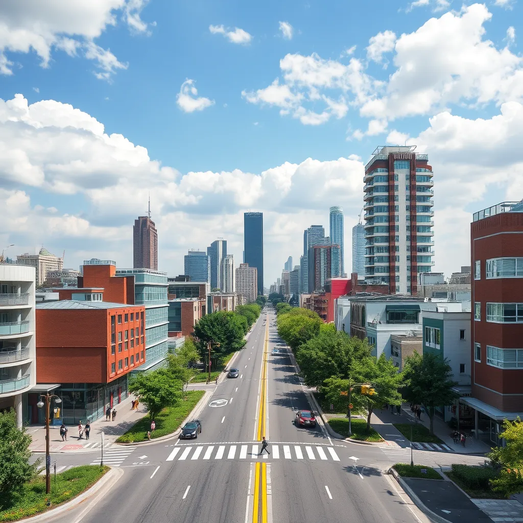
How Geospatial Solutions are Transforming Urban Planning
- Sept. 7, 2024
- Geospatial Solutions
- Post by : Eng. Kelvin George
Urban planning is rapidly evolving as cities around the world face mounting challenges from population growth, environmental concerns, and infrastructure needs. Traditional methods of planning are no longer sufficient to meet the complexities of modern cities. This is where geospatial solutions come into play. By leveraging advanced mapping and geographic information systems (GIS), urban planners are now able to make more informed decisions, optimize resource use, and create sustainable urban environments. Let's explore how geospatial solutions are transforming urban planning.
1. Enhanced Data Visualization and Analysis
Geospatial solutions provide powerful tools for visualizing complex data on maps, allowing urban planners to see patterns and relationships that may not be immediately apparent through traditional spreadsheets or reports. Whether it’s population density, traffic patterns, or environmental impact zones, GIS tools help planners visualize large datasets in a meaningful way.
For example, a city planner can layer data related to transportation, zoning, and land use over a map of the city to determine the best locations for new public transportation routes. This ability to integrate and visualize diverse datasets helps cities make more informed, data-driven decisions.
2. Real-time Monitoring and Decision Making
One of the most significant benefits of geospatial solutions is their ability to provide real-time data. Urban planners can monitor ongoing infrastructure projects, track environmental changes, and adjust plans as new data becomes available.
For instance, satellite imagery can be used to monitor the development of green spaces in real time, ensuring that city growth aligns with environmental goals. This real-time insight enables planners to take proactive measures, rather than react to problems after they occur.
3. Optimizing Land Use and Infrastructure Development
With growing urban populations, land has become a scarce and valuable resource. Geospatial solutions allow planners to optimize land use by analyzing current infrastructure, predicting future needs, and identifying the most efficient ways to develop available space.
GIS can model different development scenarios, helping planners forecast the impact of building projects on traffic congestion, public services, and local ecosystems. It allows cities to optimize layouts for new residential, commercial, and industrial areas, ensuring balanced and sustainable growth.
4. Sustainable Urban Planning and Environmental Impact Assessment
Urban planning today must consider sustainability. Geospatial technology plays a crucial role in assessing environmental impacts before any new construction or development begins. By analyzing natural resources, water bodies, air quality, and biodiversity in urban areas, planners can mitigate negative environmental consequences.
For example, GIS tools can help cities design green infrastructure, such as parks, urban forests, and water management systems, that enhance the livability of a city while protecting the environment. Additionally, renewable energy planning, such as identifying optimal locations for solar and wind farms, is made more efficient with geospatial analysis.
5. Improved Public Engagement and Transparency
Geospatial solutions also promote transparency in urban planning processes by making data easily accessible to the public. Interactive maps and open data platforms allow citizens to visualize plans for new developments, understand zoning regulations, and provide feedback on proposed projects.
This improved level of public engagement fosters trust between city planners and residents, creating a collaborative approach to urban development. Residents can better understand how changes will affect their neighborhoods, and planners can receive valuable input that may improve the final outcomes.
6. Disaster Preparedness and Risk Management
Cities are increasingly vulnerable to natural disasters such as floods, earthquakes, and wildfires. Geospatial solutions play a crucial role in disaster preparedness by helping urban planners identify high-risk areas and develop strategies for mitigation and response.
For example, GIS technology can map flood-prone zones and help planners design drainage systems that minimize damage during heavy rainfall. It can also model evacuation routes and emergency services placement to ensure that cities are prepared to handle crises efficiently.
Conclusion
The integration of geospatial solutions into urban planning is not just an advancement in technology—it’s a fundamental shift in how cities are designed, managed, and experienced. By providing urban planners with more accurate, real-time data and visualization tools, geospatial technologies allow for more efficient use of resources, sustainable development, and improved quality of life for citizens.
As urban areas continue to grow and evolve, geospatial solutions will remain at the forefront of shaping the smart, sustainable cities of tomorrow.


